Demographic Information
The U.S. government collects tons of useful and interesting information every 10 years as part of the census process. It's no surprise that several enterprising individuals have managed to map some of that data for public consumption, courtesy of Google map mashups.
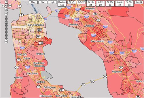
gCensus (www.gcensus.com) Displays basic census data for any zoomed-in area of the map, including population, housing units, land area, and water area World Wide Webfoot (maps.webfoot.com) Displays a variety of maps derived from Census Bureau information, including race and population density, age distribution, housing units, household composition, total population density, population percentage by gender, average household size, and so on, as shown in Figure 19.12
CityRanks (www.cityranks.com) Displays population density for major U.S. cities
|